Laser LiDAR vs. Laser Rangefinders in UAV Surveying
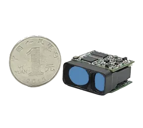
Laser rangefinders and LiDAR are both laser-based distance sensors, but they serve very different roles in UAV surveying. A laser rangefinder is essentially a one-shot distance meter: it emits a focused laser pulse straight at a target and measures the time until the pulse returns, yielding a single distance measurement. In contrast, a LiDAR (Light Detection And Ranging) system uses rapid, scanned laser pulses to map an entire scene in 3D. A LiDAR scanner typically fires thousands of pulses per second across a swath of ground, creating a dense “point cloud” of range measurements. In both cases distance is computed by the familiar time-of-flight principle, but a LiDAR unit adds scanning optics and high-precision positioning to build a comprehensive 3D model, whereas a rangefinder does not.
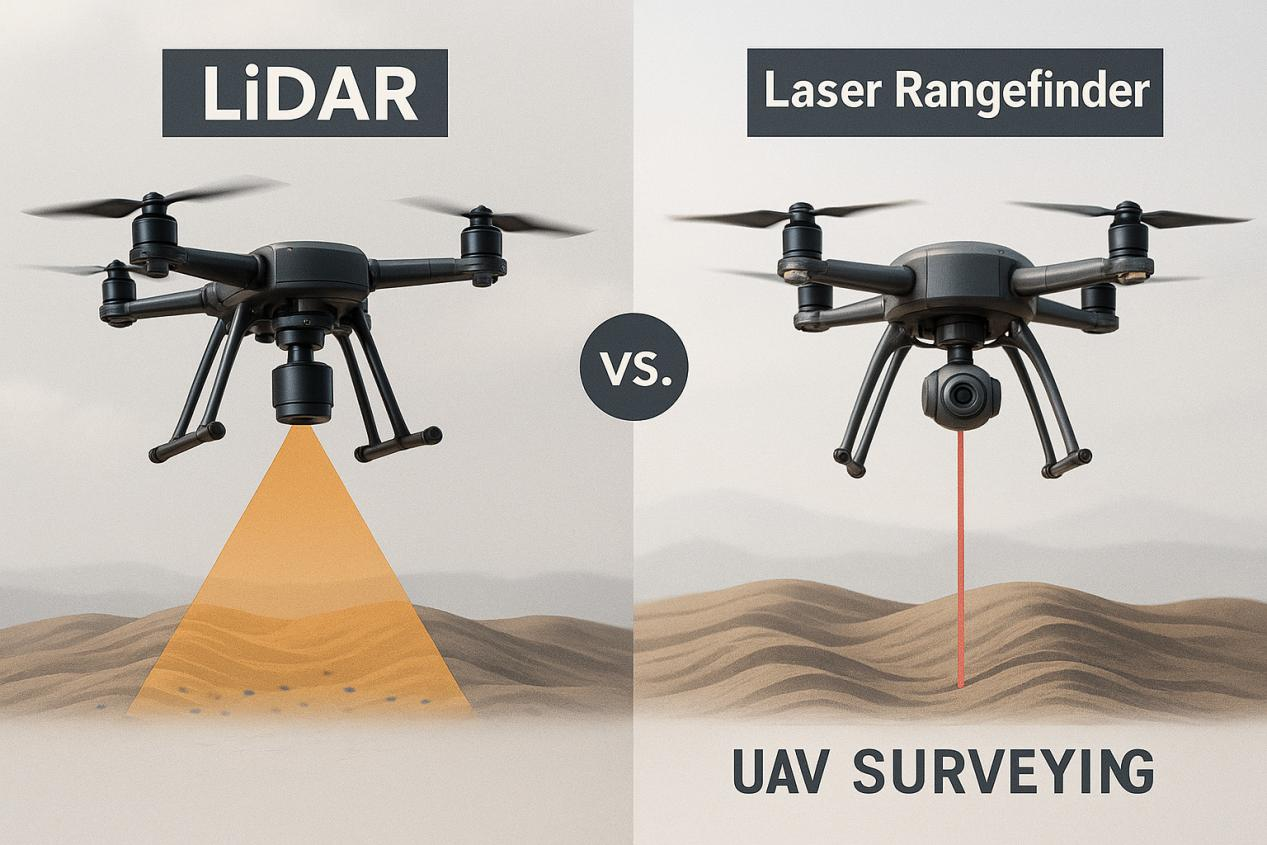
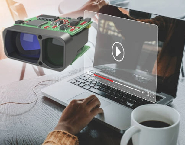
Laser Rangefinder Vs. Lidar
Typical UAV Survey Use Cases
Laser Rangefinders:
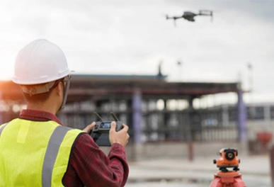
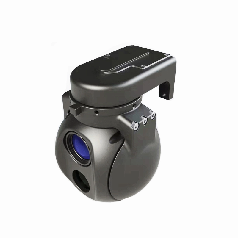
On UAVs, laser rangefinders are most often used for point measurements or flight control. For example, a downward-pointing rangefinder can supply very accurate altitude above ground, enabling smooth takeoffs/landings and automated terrain-following. Rangefinders are also used on gimballed sensors (together with cameras or thermal imagers) to gauge the distance to specific objects (buildings, power poles, fire fronts, etc.). In surveying work, handheld or drone-mounted rangefinders can help capture site control points or measure features that imagery alone might miss. For instance, a field crew once used a hand-held laser rangefinder to speed up a UAV mapping project: the rangefinder quickly recorded heights of trees and control points missed by the drone, allowing them to fill gaps without re-flying.
LiDAR Systems:
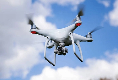
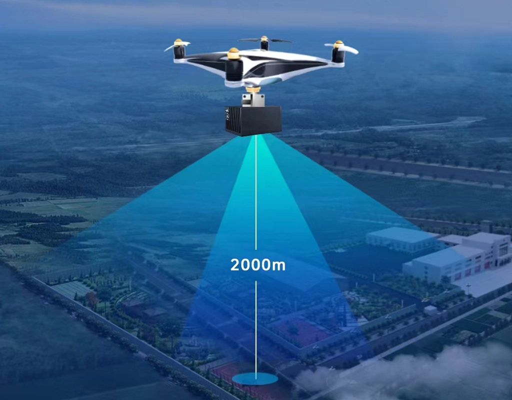
Drone-mounted LiDAR is used for broad-area 3D mapping. Typical applications include generating digital terrain models (DTMs), mapping forest canopies and vegetation structure, modeling construction sites, surveying infrastructure (roads, railways, powerlines), and corridor/utility mapping. LiDAR excels in environments where precise 3D detail is needed or where photogrammetry struggles (e.g. in dense foliage or low-light). For example, LiDAR-equipped drones can rapidly capture detailed 3D data over construction sites, mapping terrain, structures and utilities with high precision. Industry sources note that LiDAR’s centimeter-level accuracy and ability to “penetrate” vegetation make it invaluable for tasks like flood modeling, forestry analysis, and archaeological surveying. In coastal and environmental projects, agencies use aerial LiDAR to produce accurate shoreline maps and DEMs for inundation modeling. In short, LiDAR on drones is chosen when a full 3D point cloud of a landscape or complex object is required, whereas a single-point rangefinder cannot substitute for area mapping.
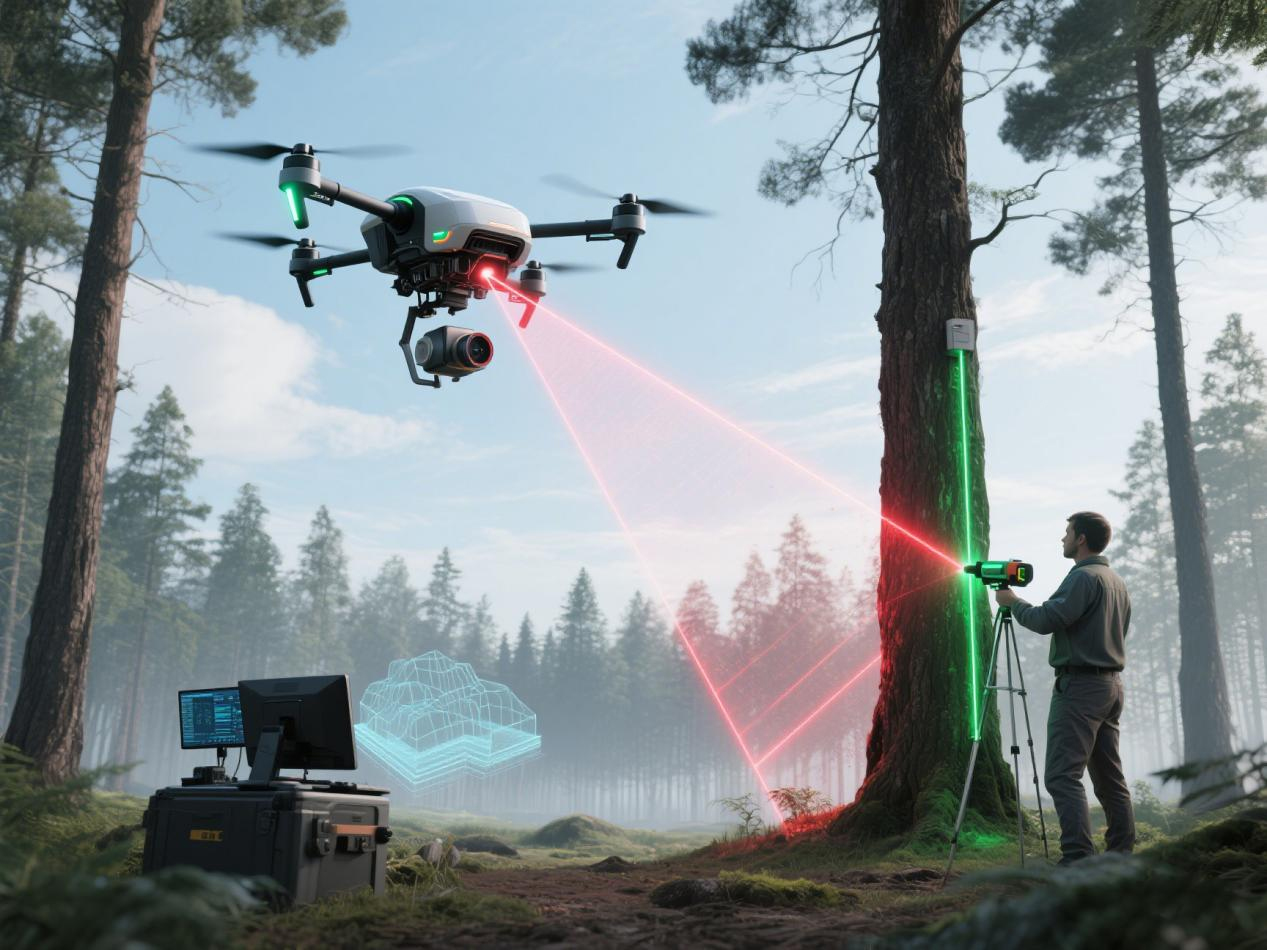
Laser Lidar Scanning
Integration Considerations
Mounting and Payload:
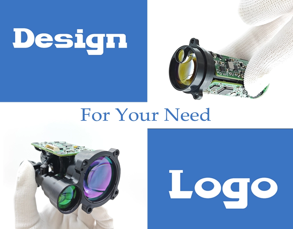
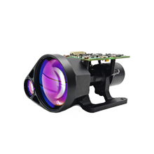
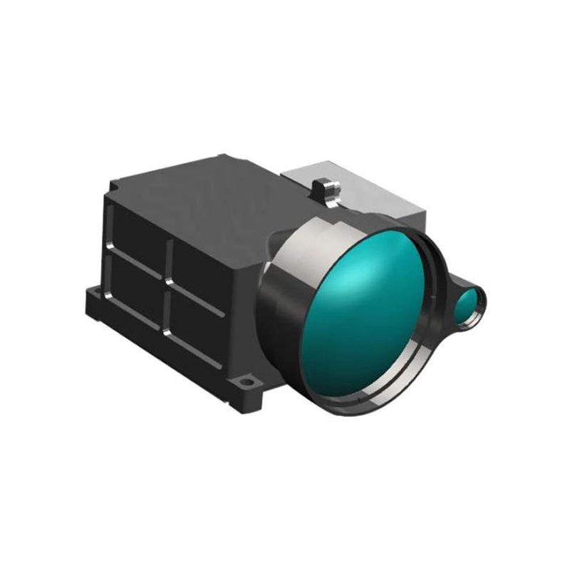
A laser rangefinder for UAV use is typically a small module (often called a “laser rangefinder module”) that can be mounted on the airframe or gimbal. Flight controllers like PX4 support popular LRF modules (e.g. LightWare SF11 or Garmin LIDAR-Lite) for altitude sensing. These sensors connect easily to an autopilot and add minimal weight (<10-200 grams). In contrast, a UAV LiDAR unit is a full sensor payload – often including the laser scanner, an IMU/GNSS package, and sometimes an integrated camera. For example, a compact UAV LiDAR system might weigh a few kilograms and require a bracket or gimbal mount. Such systems usually come with detailed installation guides and 3D mounting models to ensure proper alignment.
In brief, integrating an OEM Laser Rangefinder Module into a UAV is relatively straightforward (it often plugs into a UAV’s flight controller or gimbal like any other sensor), whereas integrating LiDAR is akin to installing a new instrument: it needs proper mounting, power supply, GPS/IMU sync, and significant pre-flight and post-flight procedures. Planning a UAV LiDAR mission involves choosing the right aircraft (payload capacity and endurance), aligning the sensor boresight, and conducting calibration flights.
References
National Aeronautics and Space Administration (NASA). (2021, October 1). NASA, industry improve lidars for exploration, science.
National Oceanic and Atmospheric Administration (NOAA). (n.d.). LIDAR: Lasers, airplanes, and drones!. NOAA SciJinks.
Unmanned Systems Technology. (n.d.). Laser rangefinders for UAVs and drones.
Zayic, R. (2018, November 7). Laser rangefinder speeds up faltering survey project. GPS World.
Popular Search Terms from Eyoung
A Deep Dive into Laser Ranging Devices and Gimbal Cameras
About the Author & Team, Eyoung Tech
Hey, this is EyoungTech, a China-based professional team dedicated to advancing optoelectronic innovation.
With a steadfast focus on optoelectronic products represented by laser rangefinders and UAV payload pods, we deliver comprehensive, end-to-end solutions to leading international partners in the UAV & drone and defence sector. Backed by years of collective expertise, our stable, highly skilled workforce ensures rock-solid technical performance and unwavering support at every stage — from initial design through deployment and beyond. At Eyoung Technology, your mission success is our top priority.
The purpose of this article is to share with insight related to cutting-edge technlogy and product applications in defence, surveying of drone industry.
Eyoung Laser Ranging Devices and Gimbal Cameras
Related Eyoung and Photoelectric Products Article for Reference
 Gimbal Cameras
