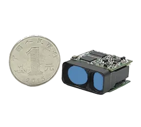
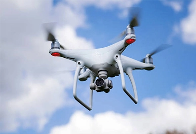
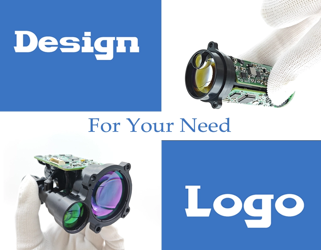
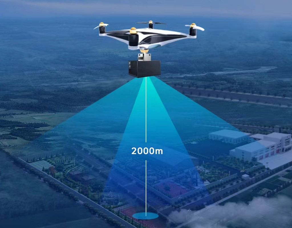
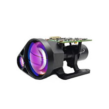
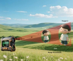
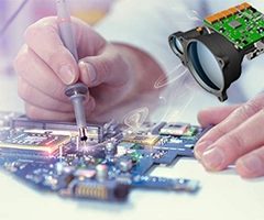
The application of laser rangefinders is becoming increasingly widespread in various industries. In particular, a laser rangefinder for UAV, with its precise and efficient measurement capabilities, has become an important tool in fields such as surveying and mapping, construction, and forest investigation. A laser rangefinder for UAV is a specialized outdoor laser rangefinder designed for aerial distance measurement. It combines laser technology with the flight performance of drones to provide more efficient and accurate measurement methods.
Surveying and Mapping
The application of a laser rangefinder for UAV in the field of surveying and mapping greatly improves the efficiency of topographic surveying, geological exploration, and map surveying. Traditional measurement methods often require a lot of manual labor, which is time-consuming and labor-intensive. By using a laser rangefinder for UAV, a drone can quickly fly to the area to be measured and obtain high-precision distance and angle data in real-time.
Construction
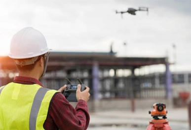
In construction, precise measurement is the key to ensuring the smooth progress of projects. A rangefinder module for drone can be widely used in site layout, structural measurement, and height measurement. With the efficient flight capabilities of drones, surveyors can remotely obtain data, avoiding errors and safety risks associated with manual measurements.
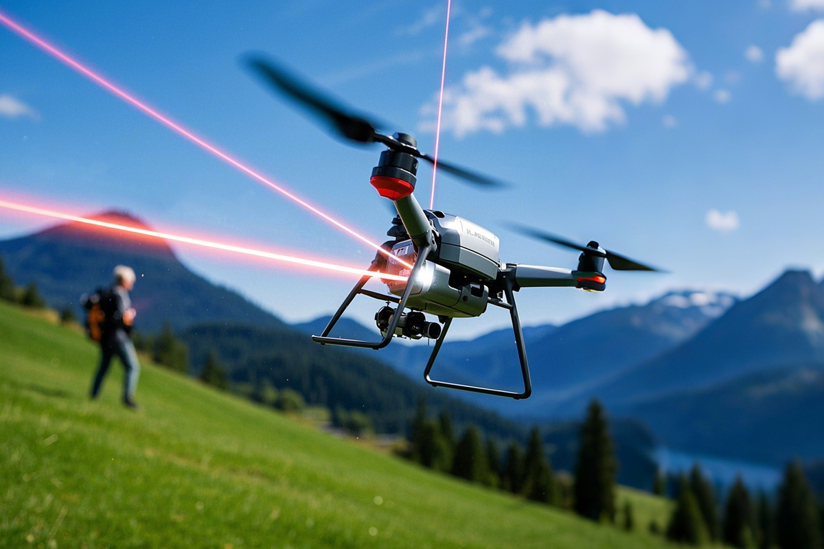
Forest Investigation
Forest investigation has always been a field that requires efficient and accurate measurement. A laser rangefinder for UAV is particularly outstanding in measuring tree height, forestry surveys, and ecological monitoring. It can quickly scan large forest areas to obtain accurate data on tree height, canopy cover, and more.
Outdoor Exploration
For outdoor enthusiasts, a laser rangefinder for UAV is a very practical device. It can help individuals accurately grasp the surrounding terrain information during activities such as mountaineering, wilderness survival, and long-distance measurement. Especially in complex or dangerous environments, a laser rangefinder for UAV can help outdoor explorers make safer decisions and enhance the fun of exploration.
Hunting and Shooting
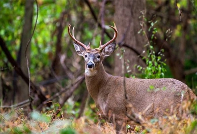
A laser rangefinder for UAV is also widely used in hunting and shooting sports. By using laser measurement, hunters or shooters can quickly determine the distance to their targets, calculate the trajectory, and perform precise shooting. Additionally, some high-end laser rangefinders for UAV feature slope compensation, providing more accurate measurement data in complex terrains, thereby improving shooting accuracy and success rates.
Traffic Management
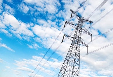
The application of a laser rangefinder for UAV in traffic management is also becoming more common. In scenarios such as road surveying, vehicle monitoring, and speed detection, a laser rangefinder for UAV can provide precise measurement data to help management departments better understand traffic conditions and develop more scientific traffic management measures. Its efficient remote measurement capabilities are particularly suitable for busy and complex areas, improving road safety and management efficiency.
About the Author & Team, Eyoung Tech
Hey, this is EyoungTech, a China-based professional team dedicated to advancing optoelectronic innovation.
With a steadfast focus on optoelectronic products represented by laser rangefinders and UAV payload pods, we deliver comprehensive, end-to-end solutions to leading international partners in the UAV & drone and defence sector. Backed by years of collective expertise, our stable, highly skilled workforce ensures rock-solid technical performance and unwavering support at every stage — from initial design through deployment and beyond. At Eyoung Technology, your mission success is our top priority.
The purpose of this article is to share with insight related to cutting-edge technlogy and product applications in defence, surveying of drone industry.
Eyoung Laser Ranging Devices and Gimbal Cameras
Related Eyoung and Photoelectric Products Article for Reference
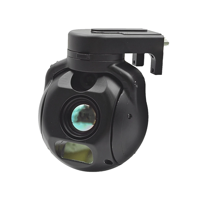
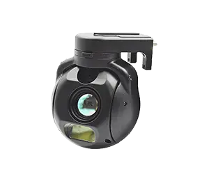 Gimbal Cameras
